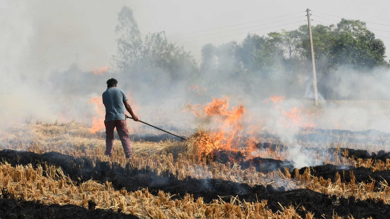
A new analysis has raised concerns about the undercounting of farm fires in the states of Punjab and Haryana. On Diwali, these states reported a significant increase in farm fires, according to data from the Indian Space Research Organisation (ISRO) satellite INSAT-3DS. However, atmospheric scientist Hiren Jethva at NASA's Goddard Space Flight Center has suggested that the actual number of farm fires could be much higher than reported, with estimates suggesting around 34,000 fires as opposed to the currently reported figures.
The discrepancy in counts arises from differences in detection methods. While INSAT-3DS detects patches of ground several kilometers across that are hot enough to be burning, Jethva's model predicts the number of fires based on the greenness of the crops as measured by NASA's MODIS satellite instrument. This method may capture more fires, particularly those that occur later in the day when INSAT-3DS is less effective.
The smoke from these farm fires travels to Delhi on a north-westerly wind, and while the wind slackened after Diwali, it is forecast to return on Wednesday and Thursday. This could potentially lead to an increase in pollution levels in Delhi. The India Meteorological Department's weather balloon measured the wind at 29 km/h on November 7, but it had eased to 15 km/h on Diwali afternoon and continued to decrease thereafter.
The CAQM official acknowledged that fields are being set on fire later in the day, which may explain the discrepancy in counts. Efforts are being made to gather more data using drones and low-cost sensors, as well as utilizing the AQUA satellite to capture instances later in the day. However, counts beyond 4 pm are still being missed, which could contribute to the undercounting of farm fires.