The Karnataka government has given a deadline of November 30th for officials to identify and finalize land across three districts - Bengaluru South, Mandya, and Chamarajanagar - for compensatory afforestation required for the proposed Mekedatu reservoir project. This comes as part of an ongoing effort to obtain necessary statutory clearances from the forest department. The project involves the diversion of over 5000 hectares of forest land, and Karnataka will need to provide an equivalent area for compensatory afforestation if the replacement land is classified as C and D class land, or double the area if it is deemed forest.
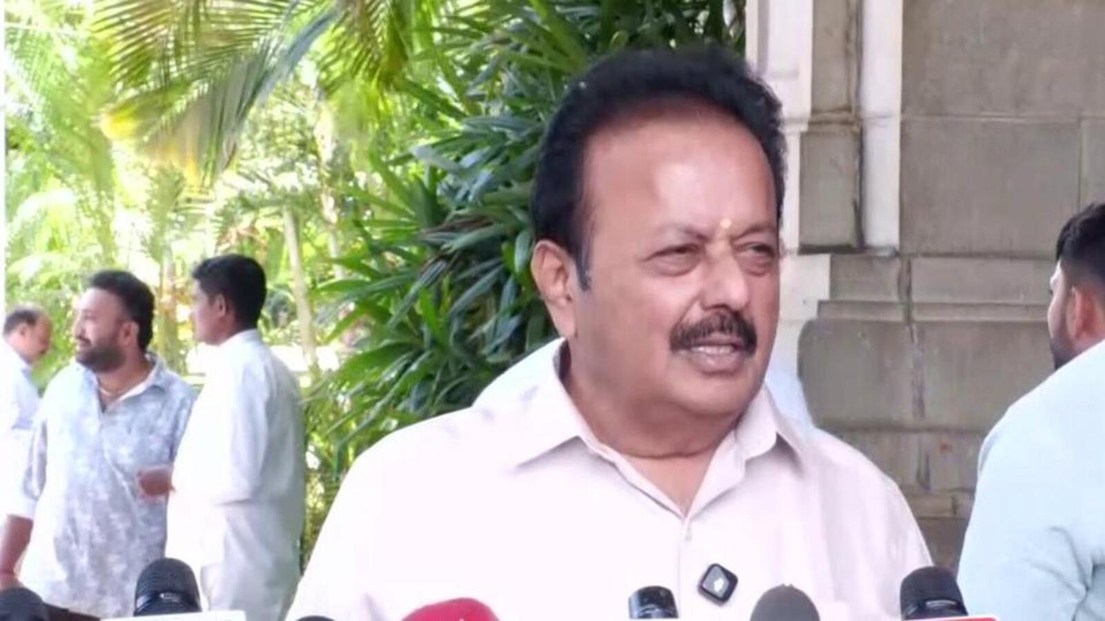
The water resources minister, N Cheluvarayaswamy, has emphasized the urgency of completing all procedures related to forest clearance for the project. He called for coordination between the revenue, forest, and water resources departments, as well as the Cauvery Neeravari Nigama Limited, to ensure a smooth process. The minister also reiterated that the Mekedatu project is crucial for meeting Bengaluru's drinking water needs using water within Karnataka's allocated share.
The land identification exercise forms part of the broader approval process for a project that has faced opposition from Tamil Nadu due to concerns about its potential impact on Cauvery water and downstream flows. However, Karnataka maintains that the reservoir is intended solely for meeting Bengaluru's drinking water needs.
The Supreme Court previously dismissed Tamil Nadu's challenge to Karnataka preparing the detailed project report, deeming it premature as the proposal was yet to undergo examination by the Central Water Commission and other Cauvery authorities. In July 2026, the Central Water Commission returned Karnataka's revised detailed project report, requesting changes to bring aspects of the proposal in line with the Cauvery tribunal's award and the Supreme Court's 2018 judgment.
According to a government order dated February 5, 2022, approximately 43,863 hectares of deemed forest land are present across the three districts: 32,958.95 hectares in Mandya, 7,514.07 hectares in Chamarajanagar, and 3,389.99 hectares in Bengaluru South. The government has already received land records covering 2,456.27 hectares from 14 districts. Officials have been directed to verify the documents and correct any discrepancies immediately so that the land can be transferred to the forest department.